The 10 Best Scenic Running Routes in Tokyo (A Runner's Guide)
Tokyo is one of the world's great running cities, with perfect 5K loops, river trails stretching 35km, and paths where cherry blossoms hit the water in April. Here is where to run.
· 8 min read · Race Spotlights
Tokyo surprises most runners. From the outside, it looks like a megacity of concrete and neon - not obviously runner-friendly. But Tokyo has an extraordinary network of river trails, palace moats, park loops, and dedicated jogging paths that make it one of the best cities on earth to run in.
The city even has a culture built around running. "Run stations" - facilities where you pay a small fee to rent a locker, change, and shower - are scattered near every major running area. The Tokyo Marathon is perennially one of the most oversubscribed ballots in world running. And on any given morning, you will share the Imperial Palace loop with hundreds of local runners doing their daily circuit.
Here are the 10 best running routes in Tokyo, with everything you need to know before you go.
1. The Icon: Imperial Palace loop (Kokyogaien)
This is the most famous running route in Tokyo and for good reason. A perfect 5km loop around the outer moat of the Imperial Palace, with ancient stone walls and cherry trees on one side and the glowing Marunouchi skyscraper district on the other. It is genuinely one of the most atmospheric urban running experiences in the world.
!Runner on the Imperial Palace outer loop path at dawn with palace moat and Marunouchi skyscrapers
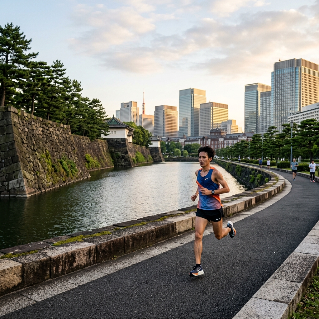
The Route: The loop follows the outer perimeter path around the palace grounds - start at Sakashita Gate, Babasaki Moat corner, or anywhere along the circuit. Distance: 5km per loop. Almost exactly. Tokyo runners commonly call it the "Kokyo Run" and count laps rather than kilometres. Terrain: Paved, gently rolling with no significant hills. Wide paths with ample room. Runner's Tip: The etiquette rule here is firm: run counter-clockwise. Everyone follows this and it keeps traffic flowing. The path can get genuinely congested with runners from 7-9 AM on weekdays and weekend mornings, especially near Nijubashi corner. Several "run stations" operate near Hanzomon Station if you need somewhere to store your bag and shower after your session. Google Maps Link: View Imperial Palace running path
2. The Park Favourite: Yoyogi Park
Yoyogi Park is the green heart of the Harajuku and Shibuya area, and one of Tokyo's most popular running spots. It sits right next to the famous Meiji Jingu Shrine - though the shrine grounds themselves are a no-run zone.
!Runner on a tree-lined path in Yoyogi Park
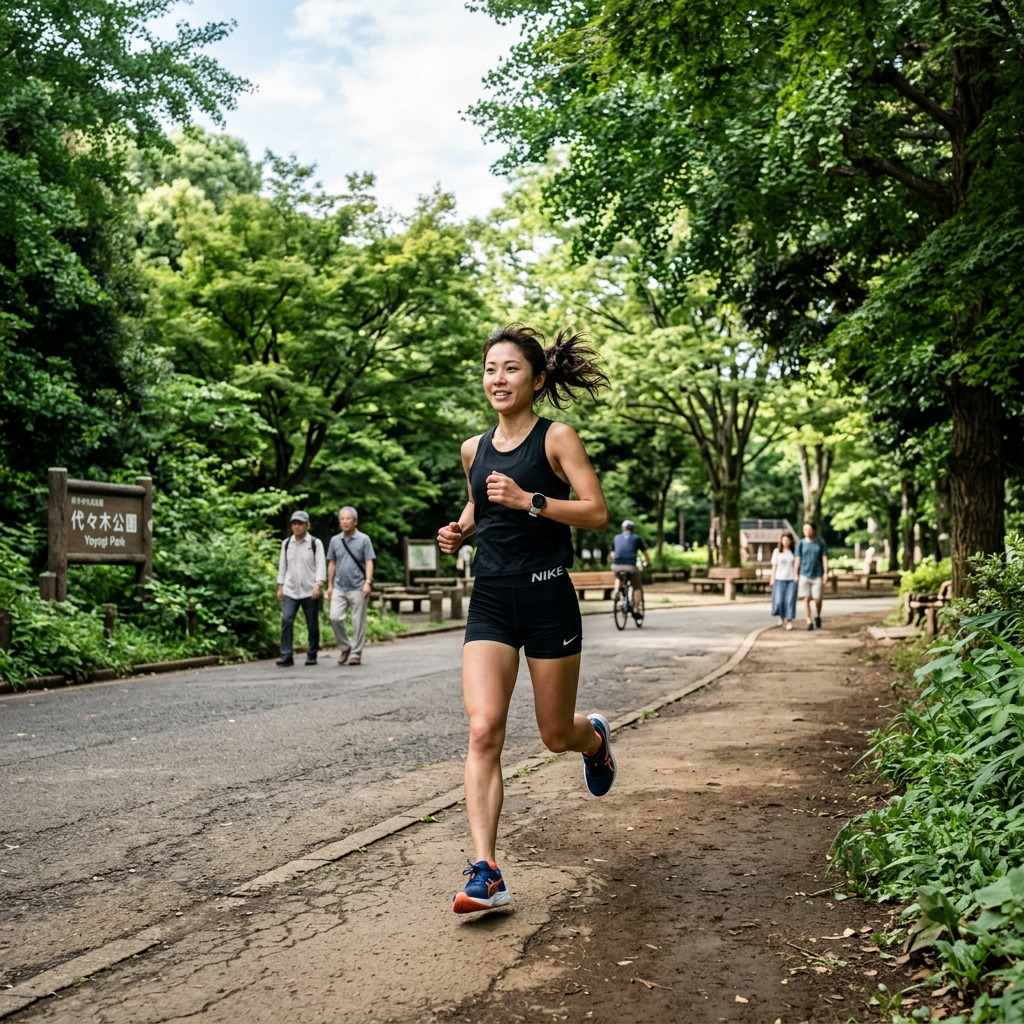
The Route: Two main options: the inner short loop (approximately 1.3km) around the central events area, or the outer large loop (approximately 2.6km) around the full park perimeter. Most runners do multiple laps of the outer loop. Distance: 2.6km per outer loop; easily extended with multiple circuits. Terrain: Paved and firm dirt paths. Mostly flat with minimal elevation change. Runner's Tip: On weekends Yoyogi fills with picnickers, cosplayers, and events that significantly reduce the running space. Weekday mornings are far better for serious training. If you want to extend your run, the nearby Meiji Jingu Gaien (the outer garden boulevard, not the shrine) has a 1.5km flat loop under a famous row of ginkgo trees - brilliant in autumn when they turn gold. Google Maps Link: View Yoyogi Park main entrance
3. The Long Distance Engine: Arakawa River Trail
If you are doing serious marathon training in Tokyo and need a long, uninterrupted run without traffic lights or tourist crowds, the Arakawa River Trail is your answer. It stretches up to 35km along the river embankment in the east of the city, with painted kilometre markers every 1km on the path.
!Runner on the Arakawa River embankment trail in Tokyo
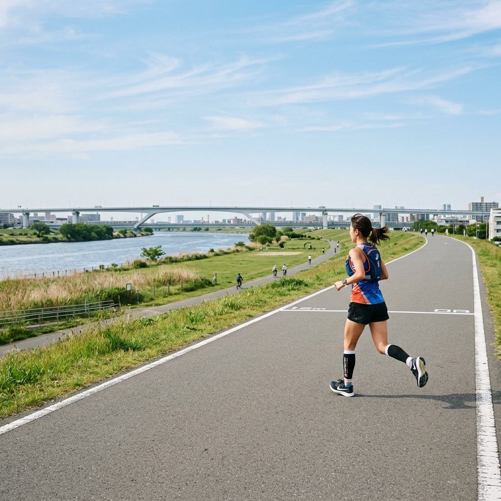
The Route: The trail runs along both embankments of the Arakawa River through eastern Tokyo. Most runners access it near Minami-Sunamachi, Higashi-Ojima, or Nishiarai stations and run as far as they need before taking the train back. Distance: Up to 35km one way. Most training runs use 15-25km sections. Terrain: Wide, paved riverside embankment path. Completely flat. Shared with cyclists. Runner's Tip: This is the route that serious Tokyo marathoners use for their Sunday long runs. The kilometre markers painted on the path make pacing simple - use them with the running pace calculator to hit your target splits. Carry your own water and nutrition as amenities are sparse between access points. The sunsets from the embankment looking west toward the Tokyo skyline are remarkable. Google Maps Link: View Arakawa River Trail access at Higashi-Ojima
4. The Speed Loop: Komazawa Olympic Park
Komazawa Olympic Park, built for the 1964 Tokyo Games, is the closest thing Tokyo has to a dedicated athlete running loop. A 2.1km paved circuit goes around the park with separate, colour-coded lanes for runners and cyclists. No ambiguity, no conflict, just running.
!Runner training on the designated lanes at Komazawa Olympic Park
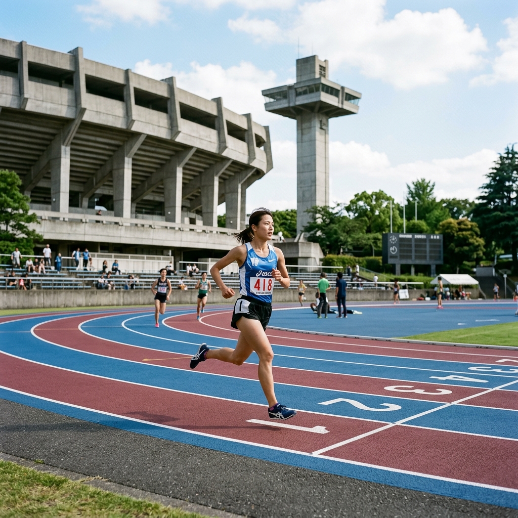
The Route: A single continuous loop around the park perimeter. Distance: 2.1km per lap. Terrain: Smooth paved track. Flat. Well-lit. Runner's Tip: This is excellent for tempo intervals and speed sessions. Because the distance is known and the surface is consistent, it is the best place in the city to test your race pace without traffic or navigation interruptions. The park has proper shower and locker facilities on site. Access is a 15-minute walk from Komazawa-Daigaku Station on the Den-en-toshi line. Best avoided during peak weekend afternoons when family sports activities fill the grounds. Google Maps Link: View Komazawa Olympic Park
5. The Cherry Blossom Classic: Meguro River
The Meguro River is narrow, lined with cafes and restaurants, and flanked by approximately 800 cherry trees that create a pink tunnel when they bloom in late March and early April. It is one of the most photographed spots in Tokyo during hanami season.
!Runner along the Meguro River path under cherry blossom trees
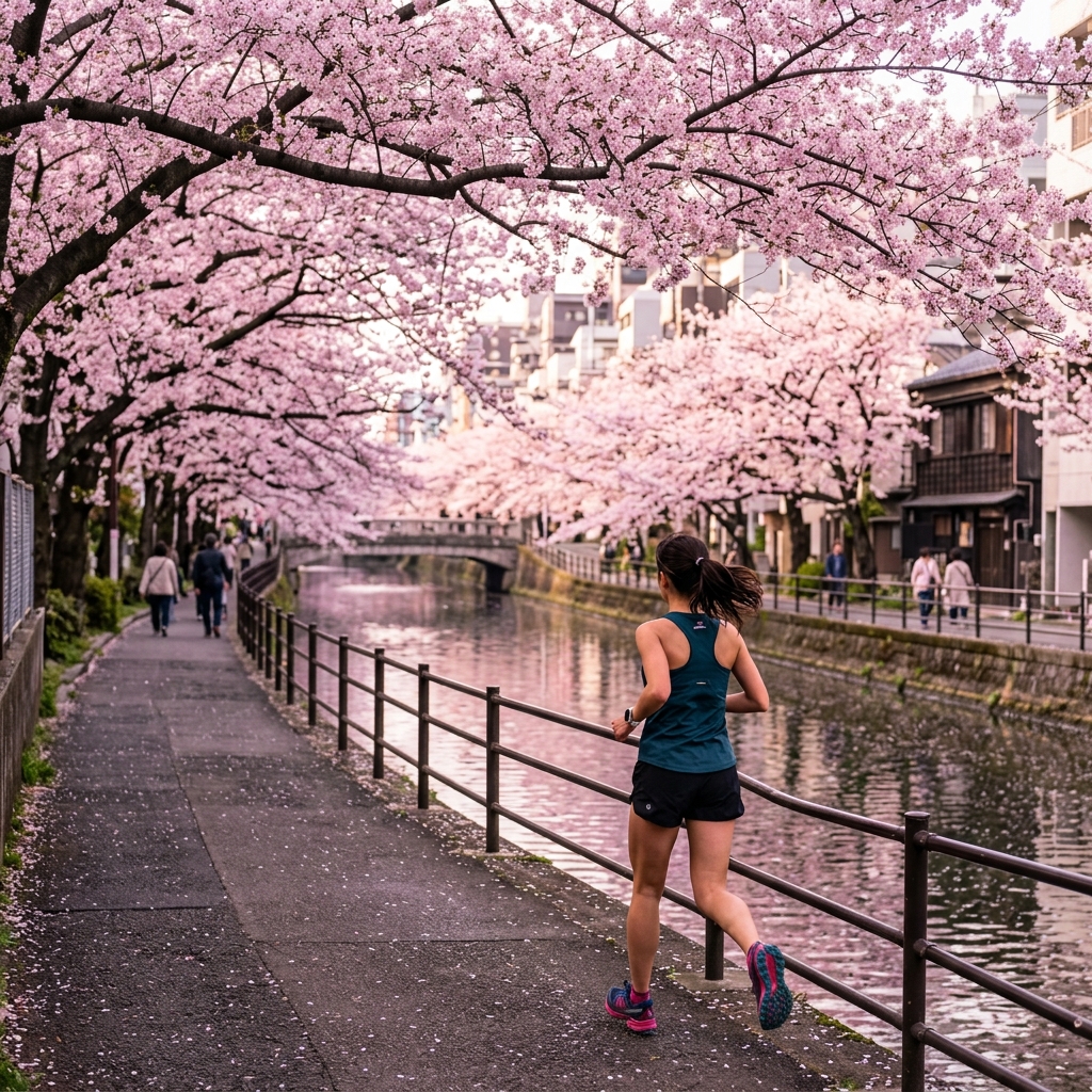
The Route: The river path runs for approximately 6km between Nakameguro and Osaki. The most scenic section is the 2km stretch either side of Nakameguro Station. Distance: Up to 6km one way; most runners do the 2-3km central section as part of a longer neighbourhood run. Terrain: Flat, paved riverside path. Some narrow sections where you must go single file. Runner's Tip: During cherry blossom season (late March to mid-April), the path becomes extremely crowded with photographers and tourists. If you want to run it during bloom, go before 7 AM. Outside of that window, it is a genuinely lovely easy-run path through one of Tokyo's most interesting residential neighbourhoods. Combine it with a run south through Osaki and into Shinagawa for a longer session. Google Maps Link: View Meguro River at Nakameguro
6. The Waterfront Loop: Odaiba & Rainbow Bridge
For running with a view of Tokyo Bay and the city skyline, the Odaiba waterfront circuit is unique in the city. The artificial island sits in the middle of the bay and offers a sense of space and openness that you cannot find in central Tokyo.
!Runner on the Odaiba waterfront promenade with Rainbow Bridge in the distance
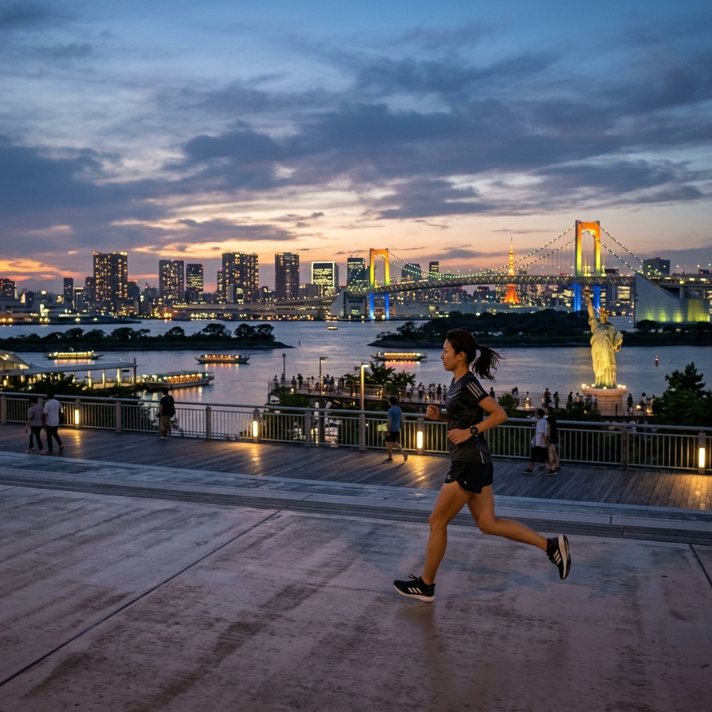
The Route: Two officially marked circuits - a 5km course and a 7km course - run around the Odaiba waterfront, passing the famous Rainbow Bridge and Tokyo's replica Statue of Liberty. The paths are paved and clearly signposted. Distance: 5km or 7km marked loops; can be extended along the waterfront. Terrain: Wide, flat paved waterfront promenade. Very little shade. Runner's Tip: Odaiba is exposed to bay winds and summer sun with almost no tree cover. In summer (June-September), run here only in the early morning before heat builds. In autumn and winter it is outstanding. The view of Rainbow Bridge lit up at dusk is spectacular if you are comfortable running in low light. Access via the Yurikamome monorail to Odaiba-Kaihinkoen Station. Google Maps Link: View Odaiba Seaside Park
7. The Shinjuku Loop: Shinjuku Gyoen
Shinjuku Gyoen is one of Tokyo's most beautiful garden parks - a formal, meticulously maintained space that blends French, English, and traditional Japanese garden styles. Running is permitted on designated paths only, and the pace is gentle by necessity given the environment.
!Quiet runner on the paths of Shinjuku Gyoen national garden
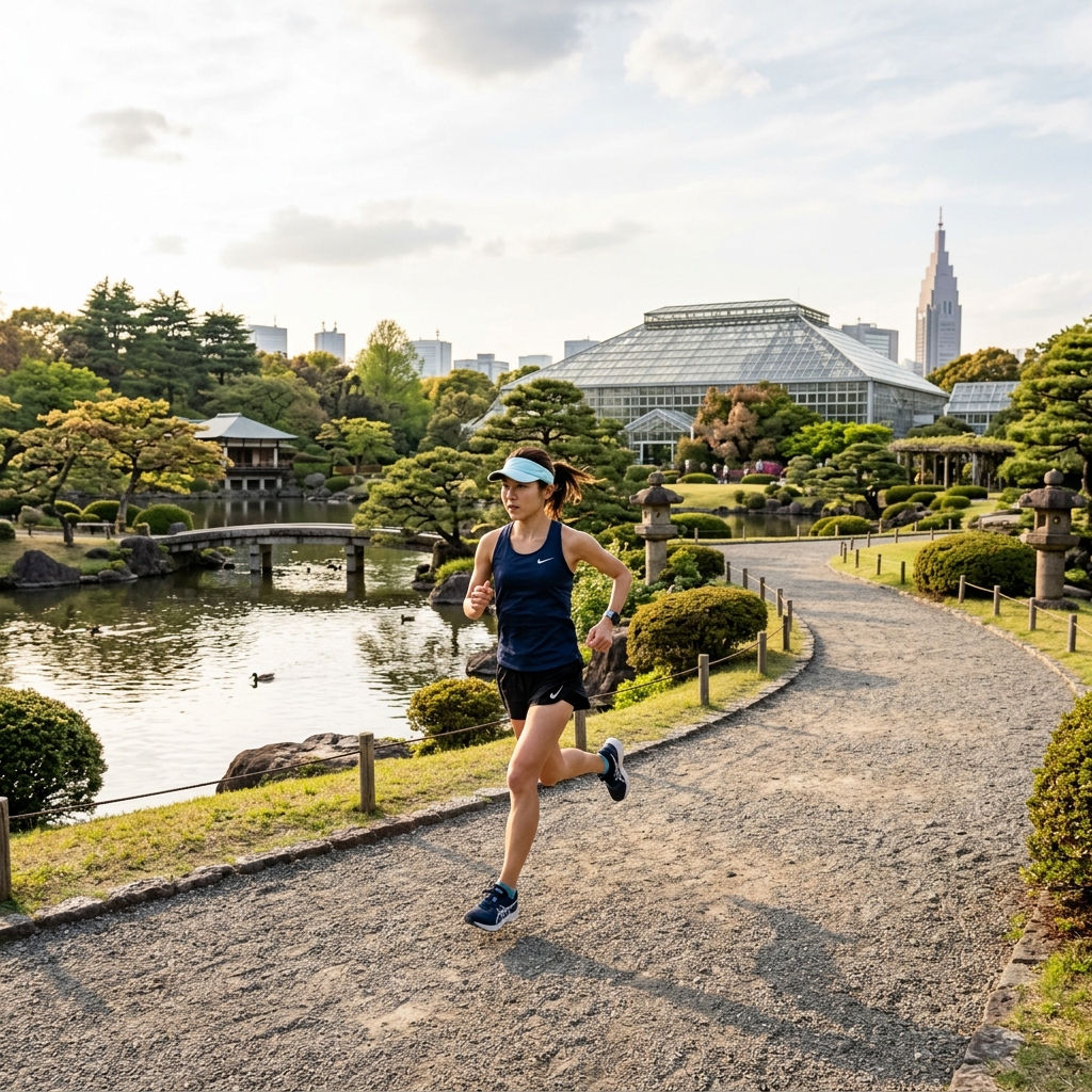
The Route: A perimeter jogging path covers approximately 4km around the full garden. Distance: 4km per loop. Terrain: Paved and packed gravel paths. Gently rolling. Runner's Tip: There is a small admission fee (¥500, around AUD $5). Strictly no group running. This is a place for a solo easy run or recovery jog, not a tempo session. The garden closes during cherry blossom season (late March to mid-April) to manage crowds, so plan accordingly. The traditional Japanese garden section, reflecting pool, and greenhouse make this visually unlike any other running route in the city. Google Maps Link: View Shinjuku Gyoen main entrance
8. The Locals' Secret: Shakujii Park
Shakujii Park in the western Nerima ward is not on most tourist running lists. That is exactly what makes it worth the train ride. It is where local western Tokyo runners go when they want quiet, shaded, lake-side running away from crowds.
!Runner on the gravel path around Shakujii Park lake
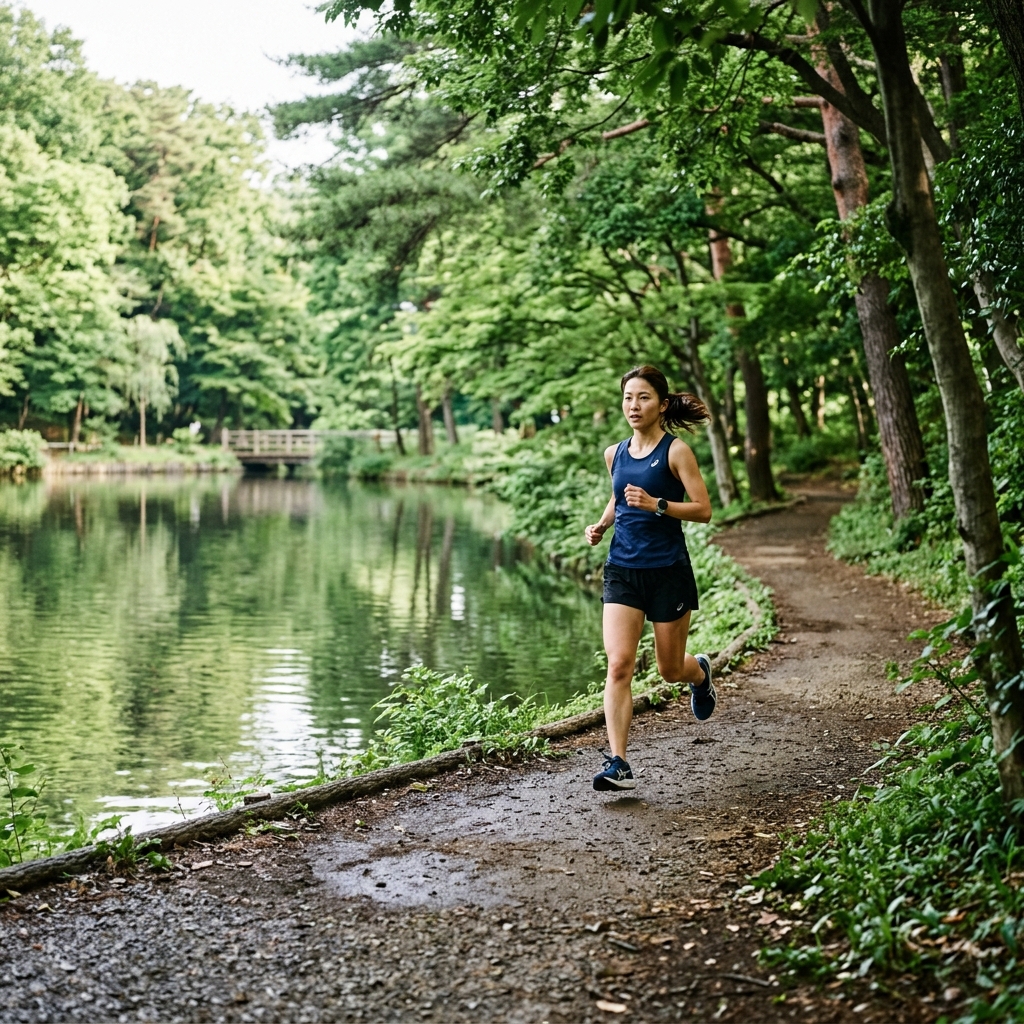
The Route: The park contains two lakes - Sanpoji Pond and Shakujii Pond. The perimeter path around both lakes covers approximately 3km. Various interior paths can be linked for a longer session. Distance: Around 3km per full lake circuit; up to 5-6km with interior paths. Terrain: Natural dirt and packed gravel paths. Gentle undulations around the lake edges. Some shaded woodland sections. Runner's Tip: The woodland sections in the northern part of the park feel nothing like central Tokyo. On weekday mornings you will see almost nobody. The natural surface is much gentler on the legs than pavement, making this a perfect choice for recovery runs or high-mileage weeks. Access is a 15-minute walk from Shakujii-Koen Station on the Seibu-Ikebukuro line. Google Maps Link: View Shakujii Park
9. The Historical Route: Sumida River Trail
The Sumida River runs through central Tokyo past Asakusa, and its riverside trail offers a flat, paved running path with unobstructed views of Tokyo Skytree - the 634-metre television tower that dominates the eastern skyline.
!Runner on the Sumida River path with the Tokyo Skytree in the background
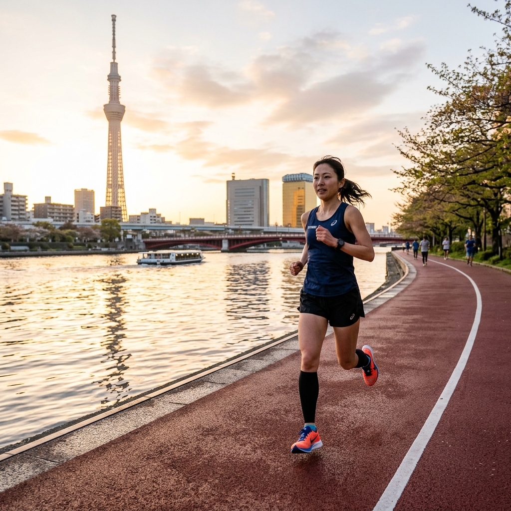
The Route: The trail runs along both banks of the Sumida River. The best section for running is approximately 4.4km on the west bank, between Azumabashi Bridge (in front of Asakusa) and further south toward Ryogoku. Distance: 4-8km depending on which sections you combine. Terrain: Wide, flat paved urethane surface. Traffic-free. Runner's Tip: The urethane surface is noticeably softer and more forgiving than standard pavement - Tokyo has invested in this for the running paths along the Sumida. The Tokyo Skytree is stunning at dawn when the eastern sky is warming up and the tower is still lit at night. At dusk when the lights come on, the reflection in the river is exceptional. This section connects to the Tokyo Marathon route in its eastern section. Google Maps Link: View Sumida River at Azumabashi
10. The Marathon Prep Route: Outer Gaien loop & Jingu Stadium
The Meiji Jingu Gaien (outer gardens) offer a compact, flat 1.5km loop around the stadium area, popular with local athletes and club runners. This is where you come to do structured speedwork near the centre of the city.
!Runner on the ginkgo tree avenue at Jingu Gaien
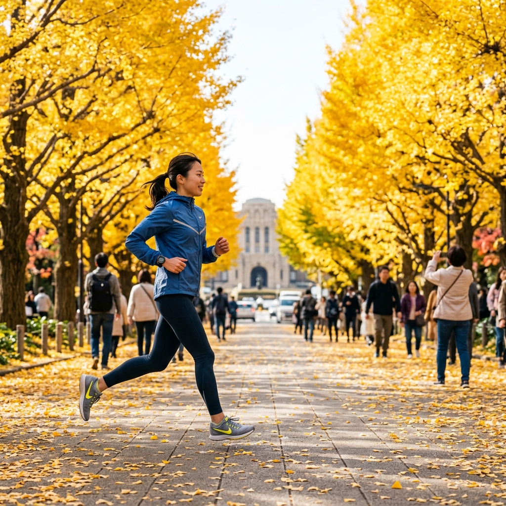
The Route: A flat loop around the perimeter of the Jingu Baseball Stadium and surrounding gardens. Some runners combine it with a run into Aoyama Cemetery (surprisingly peaceful, well-paved paths) or south toward Roppongi for added distance. Distance: 1.5km per loop; typically run as multiple circuits or combined with other routes. Terrain: Wide, smooth paved boulevard. Completely flat. Runner's Tip: The famous ginkgo tree avenue at Gaien Higashi-dori turns a brilliant gold in late November - the most spectacular autumn running scenery in Tokyo. This is the route to do if you want to see why Tokyo runners are so enthusiastic about their city. Access is a 10-minute walk from Aoyama-Itchome Station. Google Maps Link: View Meiji Jingu Gaien
Running in Tokyo: essential tips
Summer heat (June-September): Tokyo summers are genuinely dangerous for running - high temperatures combined with extreme humidity create a heat index that can feel 10°C warmer than the actual temperature. Run before 7 AM or after 8 PM only. Vending machines and convenience stores (konbini) are everywhere and provide easy mid-run drink access.
Run stations: Most major running areas have nearby run stations where you pay ¥500-1,000 to rent a locker and access shower facilities. Look for signs near Hanzomon (Imperial Palace), Nakameguro, and Komazawa. This makes it easy to run on your way to sightseeing.
Etiquette: When overtaking other runners or pedestrians on narrow paths, a brief "sumimasen" (excuse me) is appreciated and expected. Keep left on paths where possible.
Cherry blossom season (late March to mid-April): The most spectacular time to run in Tokyo, but many popular routes become extremely crowded. Go before 7 AM for any route near a famous viewing spot.
Tokyo Marathon entry: The ballot is one of the most competitive in the world - under 10% acceptance for international runners. Check our race directory for confirmed open running events in Tokyo that don't require ballot entry.