The 10 Best Scenic Running Routes in New York City (A Runner's Guide)
From the iconic loop around Central Park's reservoir to running across the Brooklyn Bridge at sunrise, here are the best places to run in New York City.
· 8 min read · Race Spotlights
New York City is one of the most running-obsessed cities on the planet. The New York Road Runners (NYRR) has over 60,000 members. Central Park is busy with runners at 6 AM on a Tuesday. The NYC Marathon is the largest in the world.
But running in New York for the first time - or running it well - takes local knowledge. The city's grid of streets and traffic lights means knowing where the continuous, uninterrupted paths are is the difference between a great run and a frustrating stop-start shuffle.
Here are the 10 best scenic running routes in New York City, with everything you need to know before you lace up.
1. The Classic: Central Park full loop
If you only run one route in New York, it has to be this. The Central Park outer loop is 10 kilometres of largely uninterrupted, car-free tarmac through the green heart of Manhattan.
!Runner on the Central Park main loop path with Manhattan skyline visible through trees
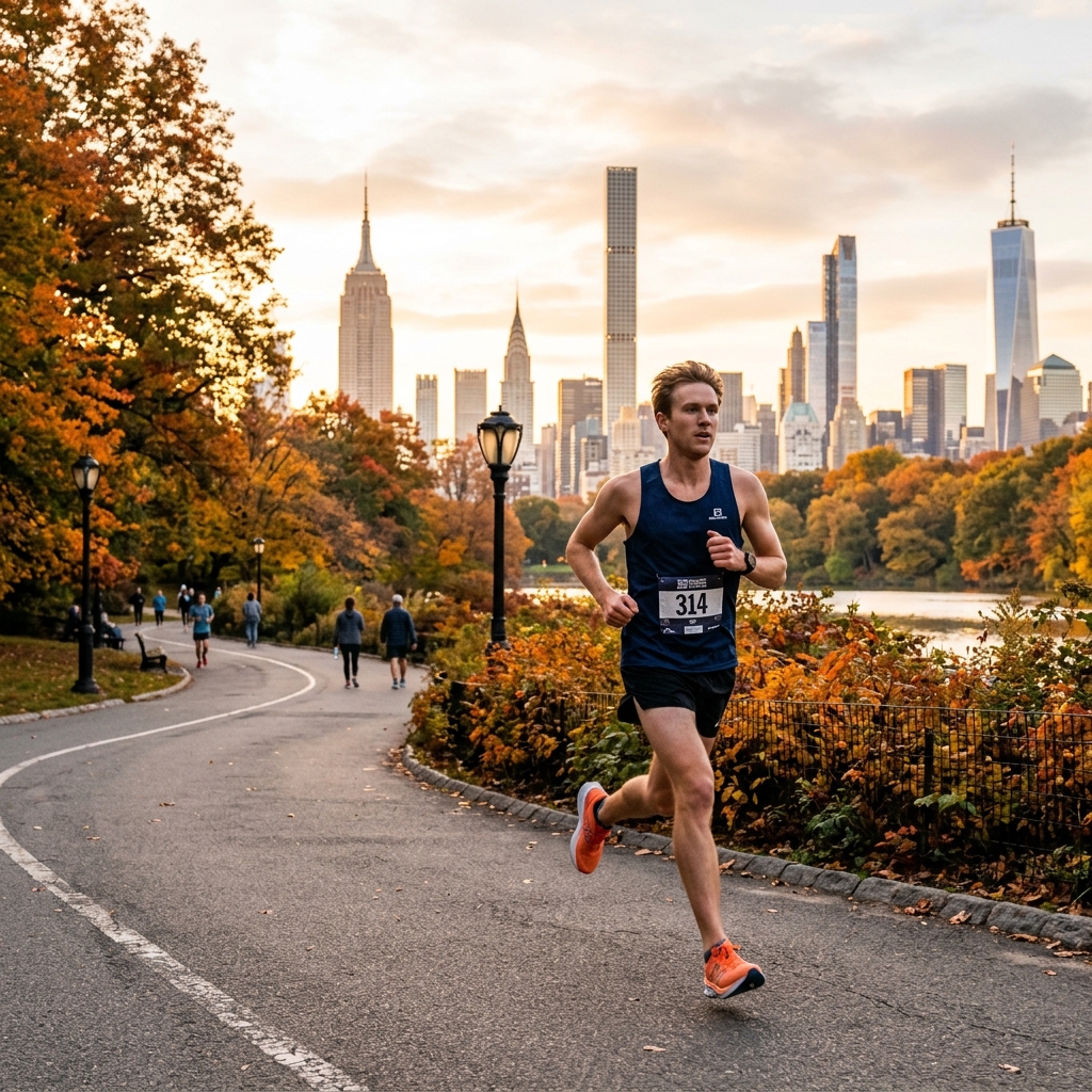
The Route: Enter at any of the park's main gates and follow the main drive (West Drive, North Drive, East Drive, Centre Drive) in either direction around the perimeter. Distance: 9.7km (6.03 miles) for the full outer loop. Terrain: Smooth tarmac. Some rolling hills, particularly Harlem Hill in the north, which climbs about 30 metres. Not flat. Runner's Tip: The route is divided into runner and cyclist lanes. Runners share the road with cyclists, so stay in your lane and be aware. The three significant hills - Harlem Hill, Cat Hill, and the Reservoir Hill section - make this a different training stimulus from a flat city loop. Use the pace calculator to adjust your target pace on hilly segments. Google Maps Link: View Central Park main entrance
2. The Reservoir Loop: the most scenic 2.5km in running
The Jacqueline Kennedy Onassis Reservoir sits in the middle of Central Park and has its own dedicated running path that is one of the most beautiful short loops anywhere in the world.
!Runner on the Jacqueline Kennedy Onassis Reservoir path in Central Park
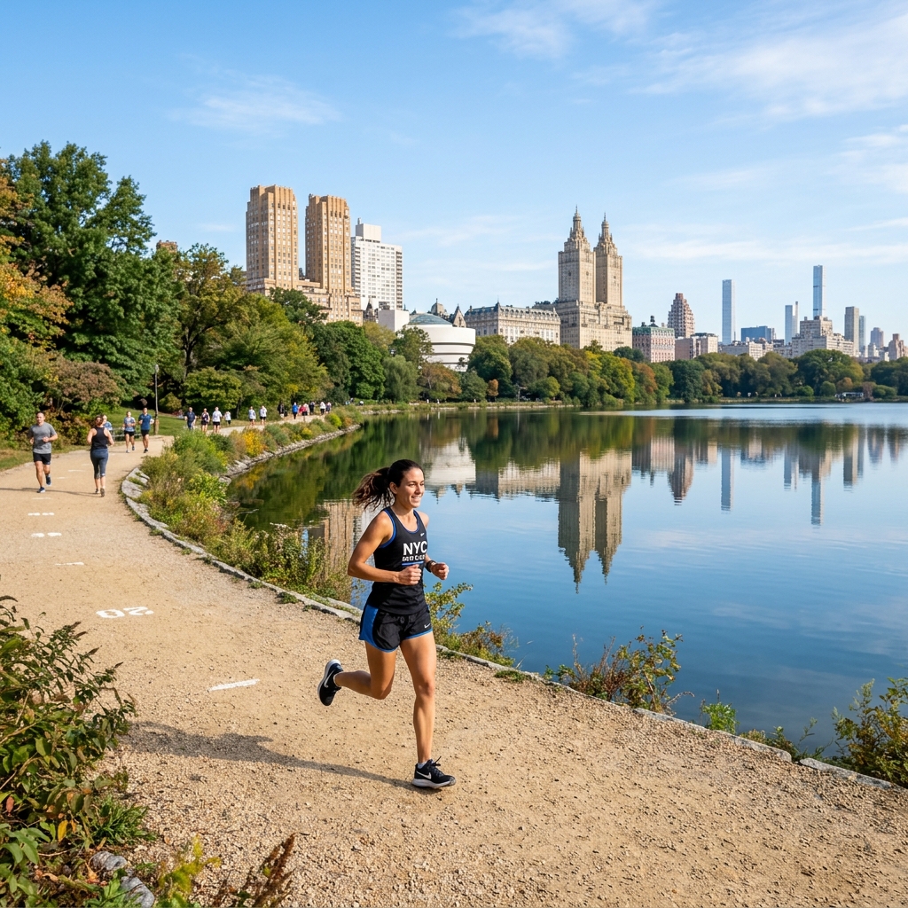
The Route: Enter the reservoir track from 90th Street on either the east or west side of the park and run the full perimeter. Distance: 2.5km (1.58 miles) per loop. Terrain: Crushed gravel. No cyclists, no dogs. Pedestrians only. Runner's Tip: The gravel surface is genuinely softer on the joints than tarmac, making this perfect for easy recovery runs or high-mileage weeks when your legs need a break from hard ground. The Manhattan skyline reflected in the water is one of those things that makes you remember why you started running. Multiple laps are highly recommended. Google Maps Link: View the JKO Reservoir
3. The Bucket List Bridge: Brooklyn Bridge at sunrise
Running across the Brooklyn Bridge is on most runners' NYC to-do list. Do it wrong and it is a tourist-dodging obstacle course. Do it right - before 7 AM - and it is one of the most electric running experiences in the world.
!Runner crossing the Brooklyn Bridge at sunrise
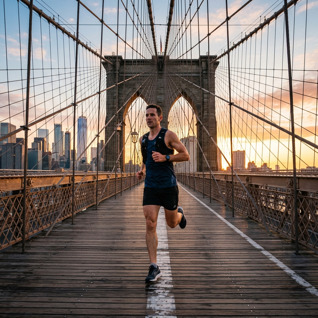
The Route: Start at City Hall Park on the Manhattan side (Park Row / Centre Street), run the full length of the bridge to the Brooklyn side, then loop through Brooklyn Bridge Park for views back to Manhattan. Distance: 2.7km bridge crossing one way; add 3-5km of Brooklyn Bridge Park for a fuller run. Terrain: Wooden planks on the bridge, then paved paths in the park. Runner's Tip: The pedestrian walkway runs down the middle of the bridge. Cyclists have a dedicated lane - stay out of it. The bridge itself has a meaningful incline to the midpoint and a descent on each side. If the Brooklyn Bridge is already crowded, the Manhattan Bridge is the insider alternative: it runs right alongside it, has barely any tourists, and gives you a perfect view back to the Brooklyn Bridge itself. Google Maps Link: View Brooklyn Bridge Manhattan entrance
4. The Marathon Route: Hudson River Greenway
The Hudson River Greenway is New York's longest uninterrupted running and cycling path, running the entire length of Manhattan along the west side waterfront. Elite runners use it for long training runs. During NYC Marathon week, the city buzzes with runners using this as their shake-out route.
!Runner along the Hudson River Greenway path with the George Washington Bridge in the background
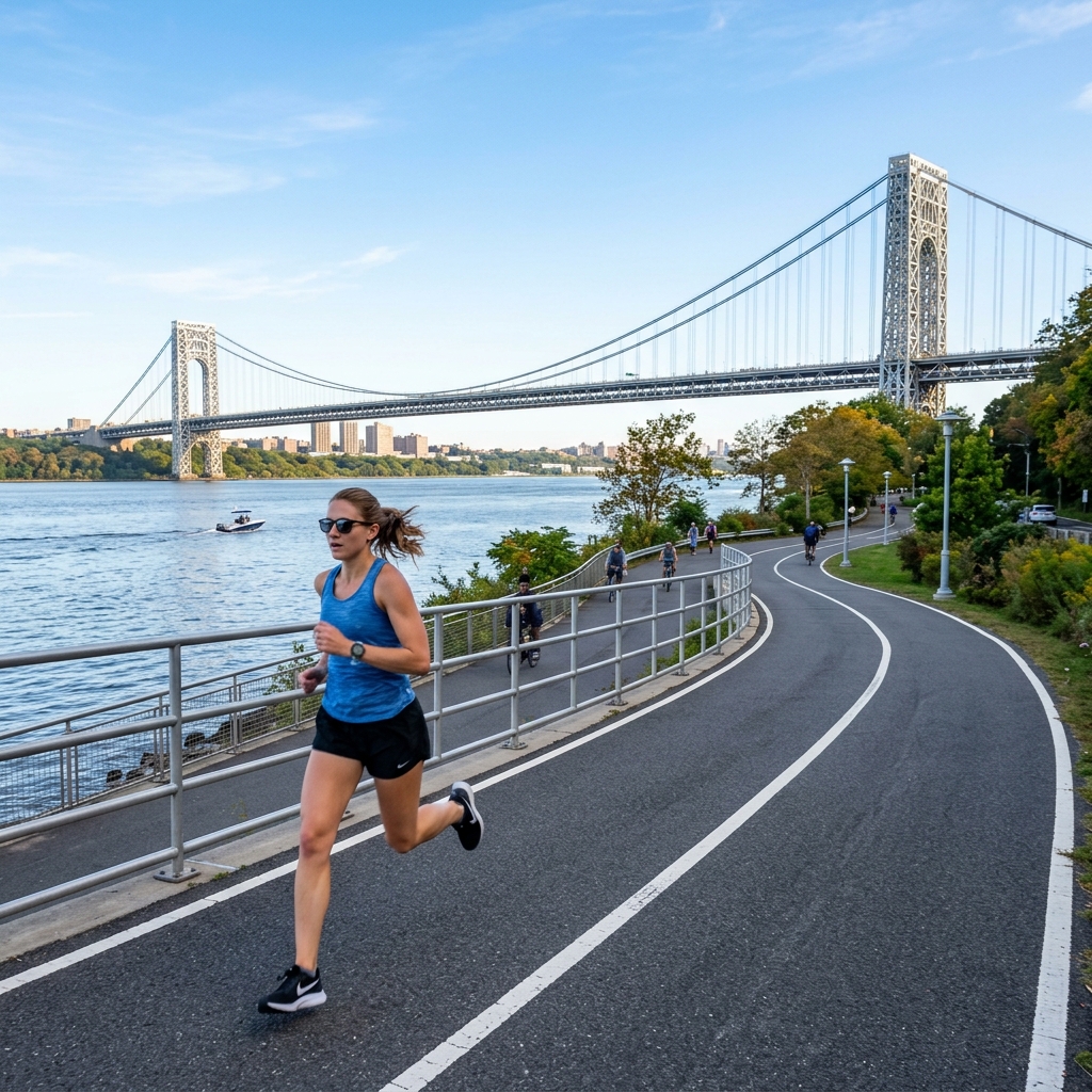
The Route: Access from any cross street heading west. The path runs continuously from Battery Park in the south all the way up to the George Washington Bridge - approximately 18 kilometres one way. Distance: As long as you want. Most runners do 8-15km out and back. Terrain: Paved. Mostly flat with very gentle undulations near the upper sections. Runner's Tip: The greenway is shared with cyclists who move fast. Stay on the marked pedestrian side where divided. The views of New Jersey across the Hudson, the Statue of Liberty from the southern section, and the dramatic George Washington Bridge from the north make this the best long-run route in Manhattan. If you're building a marathon training plan, this is where to log your easy 15-20km midweek sessions. Google Maps Link: View Hudson River Greenway south section
5. The Brooklyn Classic: Prospect Park loop
Prospect Park is Brooklyn's answer to Central Park - designed by the same landscape architects (Frederick Law Olmsted and Calvert Vaux), but with fewer tourists and more local runners. On any given weekend morning, it is full of Brooklyn's running community.
!Runner on the Prospect Park loop road amidst autumn foliage
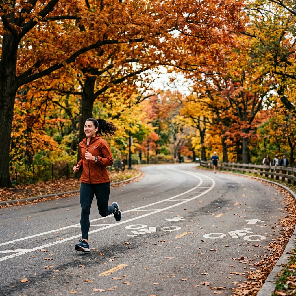
The Route: The main loop follows the park drive (West Drive, Flatbush Avenue, East Drive, Parkside Avenue). The full loop is entirely car-free on weekends. Distance: 5.3km (3.3 miles) per loop. Terrain: Smooth tarmac with some rolling hills, particularly along Lookout Hill in the centre-west of the park. Runner's Tip: The park runs a popular 5K race series through NYRR. If you want to find your running events near you in Brooklyn, Prospect Park is the hub. The interior paths add technical variety if you want to break up the main loop - particularly the Ravine, which takes you through wooded terrain that feels nothing like a city park. Google Maps Link: View Prospect Park main entrance
6. The Waterfront Run: East River Greenway
While the Hudson draws more runners, the East River Greenway offers something different: eye-level views of every major bridge in lower Manhattan and a harder, edgier urban atmosphere.
!Runner along the East River Greenway path with Manhattan Bridge overhead
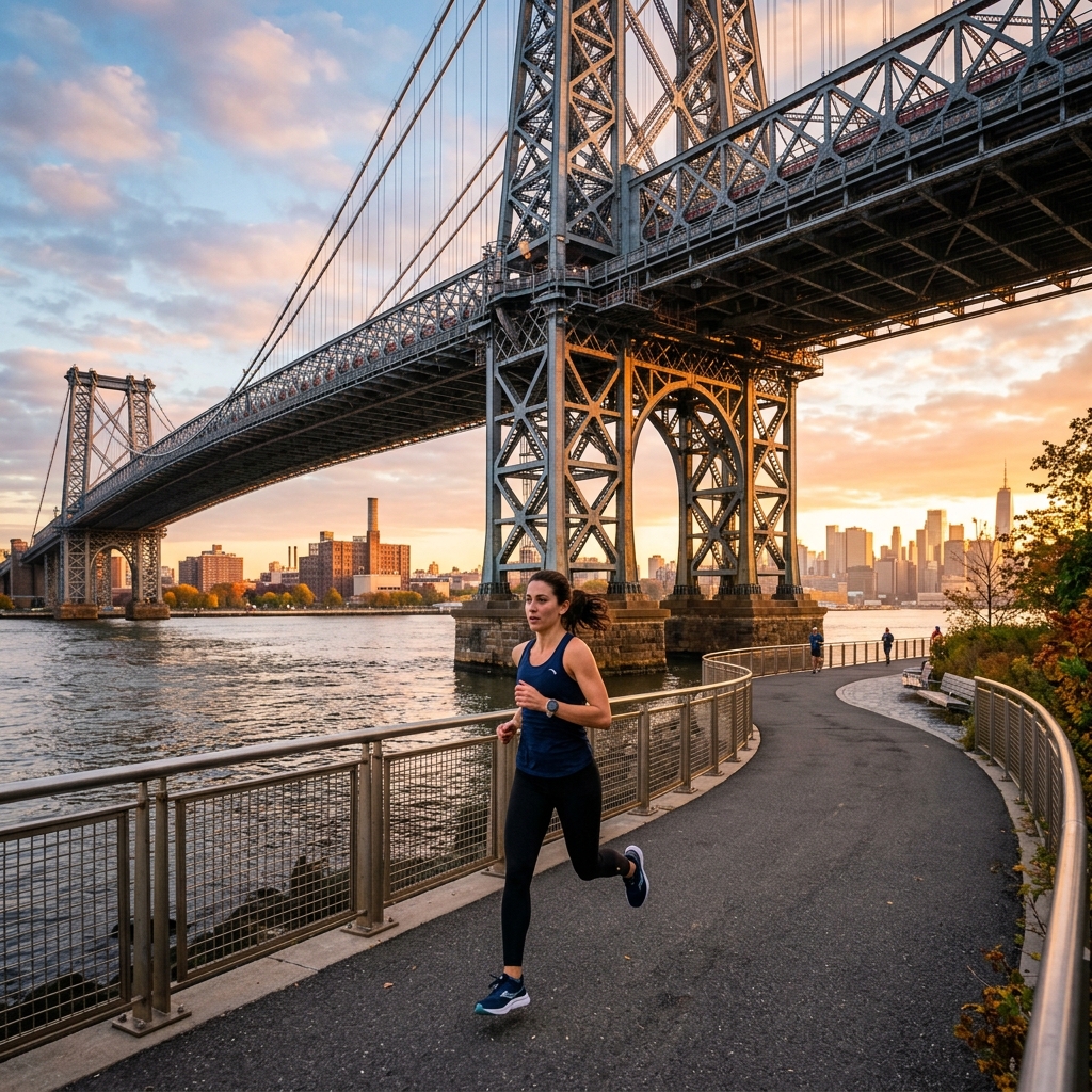
The Route: The northern section runs from 125th Street down to approximately 53rd Street (about 8km). The southern section runs from 37th Street to Battery Park (about 7km). A gap around the United Nations at 42nd-60th Street requires a short street detour - use 1st or 2nd Avenue. Distance: Up to 15km if you run both sections with the street connection. Terrain: Paved waterfront path and promenade. Runner's Tip: The northern section at dawn, with the Queensboro Bridge overhead and the East River catching the early light, is criminally underrated. The views of the Williamsburg, Manhattan, and Brooklyn Bridges from the southern section are spectacular. This is best as a point-to-point run - take the subway back from Battery Park to your starting point. Google Maps Link: View East River Greenway at 125th Street
7. The Hidden Gem: Riverside Park
While tourists pack Central Park, Riverside Park runs along the Hudson on the Upper West Side and is almost entirely populated by local runners, dog walkers, and cyclists. It is quieter, shadier, and in spring, absolutely gorgeous.
!Runner on a path in Riverside Park next to the Hudson River

The Route: Enter at any West Side street between 72nd and 158th Street. The main running path hugs the park, dropping to riverside level in sections. Distance: Highly variable. Most runners do a 5-12km out and back section. Terrain: Paved paths with some gentle elevation change dropping down to river level. Runner's Tip: The cherry trees between 100th and 125th Streets bloom spectacularly in April, turning the lower riverside path into one of the most beautiful stretches in the city. In that brief window, it rivals anything in Tokyo for spring running scenery. The path connects directly to the Hudson River Greenway at 72nd Street, making it easy to extend into a longer waterfront run. Google Maps Link: View Riverside Park at 79th Street
8. The Urban History Run: The High Line to Hudson Yards
The High Line is not a running route in the traditional sense - it is more of a slow-jog sightseeing experience. But at 6:30 AM before the tourists arrive, it is a genuinely unusual and brilliant way to start a longer run.
!Runner on the High Line elevated park in NYC
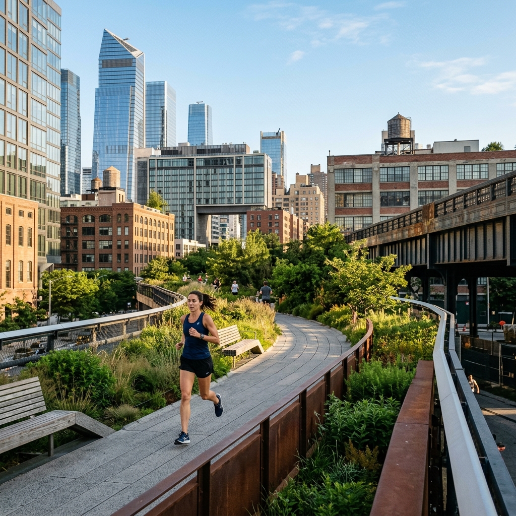
The Route: Start at the Gansevoort Street end (Meatpacking District) and run the elevated linear park north to 34th Street, passing through the Hudson Yards development. Then drop down and connect to the Hudson River Greenway for as much additional mileage as you need. Distance: 2.4km on the High Line itself, then unlimited on the Greenway. Terrain: Wide planked paths and paving. Entirely flat. Runner's Tip: By 8:30 AM this becomes too congested with pedestrians and tourists to run properly. Go early, run it once, then use it as the opening kilometre of a longer session that continues south along the river. The industrial architecture, the city views from elevation, and the landscaped gardens on a misty morning are unlike anything else in New York. Google Maps Link: View High Line at Gansevoort Street
9. The Island Escape: Governors Island
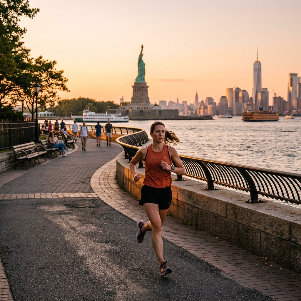
If you want to run somewhere genuinely car-free, flat, and with views of the Statue of Liberty and Manhattan skyline simultaneously, Governors Island is the answer. Most New Yorkers have never been. Almost every runner who goes wants to go back.
!Runner on the waterfront path of Governors Island with Statue of Liberty in distance
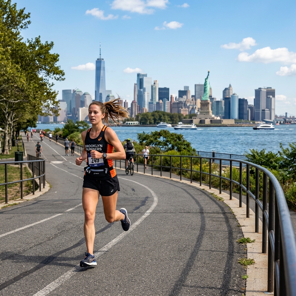
The Route: The perimeter loop around the island is 3.4km (2.1 miles) of completely car-free waterfront path. Multiple interior paths add mileage. Distance: 3.4km loop; easily extended with interior paths to 6-8km. Terrain: Flat paved and packed-dirt paths. Zero traffic. Runner's Tip: You need to take the Governors Island Ferry from the Battery Maritime Building in lower Manhattan (or from Brooklyn Bridge Park Pier 6). Plan around the ferry schedule - the island is only open seasonally (May to October) and ferry service runs every 30 minutes from Saturday and Sundays. Factor in a post-run coffee at the island's cafe. This is a genuinely special run. Google Maps Link: View Governors Island ferry terminal
10. The Distance Builder: Manhattan full loop
For runners training for a marathon who want a proper long run that actually covers the city, the full Manhattan island perimeter is the ultimate New York run. It strings together the Hudson Greenway, Battery Park, the East River Greenway, and Riverside Park into one epic lap of the island.
!Runner near Battery Park at the southern tip of Manhattan
The Route: The full loop traces the coastline of Manhattan - Hudson on the west, Battery Park at the southern tip, East River on the east, and Harlem River at the top. Distance: Approximately 50km (31 miles) for the true full loop. Most runners do the Lower Manhattan half (Battery Park to 125th Street on both sides), which is around 25-28km. Terrain: Mixed. Paved waterfront paths, some short street sections where greenways have gaps. Runner's Tip: This is a logistics run as much as a training run. Plan your water and nutrition stops carefully. The Hudson side is better for the outbound leg (south to north) and the East River side is better for the return. The street gap between 37th and 60th Street on the east side is the main navigation challenge. Google Maps Link: View Battery Park (southern tip)
Running in New York: seasonal tips
Summer (June-August): New York in summer is hot, humid, and punishing. The urban heat island effect makes the city 3-5°C warmer than surrounding areas. Run before 7:30 AM or after 7:00 PM. Hydration is critical - carry water or plan your route around the Greenway's water stations.
Autumn (September-November): The best running season. Cool temperatures, spectacular foliage in Central Park and Prospect Park from mid-October. Marathon training weather.
Winter (December-February): The parks stay open and many locals run year-round. Central Park clears quickly after snow. The Greenways can be icy - trail shoes help on slippery days.
Spring (March-May): Central Park and Riverside Park bloom quickly after winter. April is peak marathon training season and the parks buzz with it.
Looking to run an actual race in New York? Find upcoming 5K and half marathon events in New York City on the race directory.